I learned a few things on the trip, and specific hiking advice for this trail is rare on the Internet. Here are a few tips if you would like to hike the entire 185 mile canal in one go.
1. Season
I trained during the summer, and the heat, bugs, and humidity were miserable. Much of the trail follows a ditch filled with stagnant water after all. Winter means heavy clothing and no water pumps. Spring is generally wet. We picked September/October and the weather was generally pleasant. We also were able to see the leaves changing.
2. Water
Unless it is above 95F degrees, you might not need to actually carry water. Water is plentiful on the trail. Each Hiker/Biker campsite has an iodine treated pump, and boat ramps provide easy access to the river. Even if the pump is out of order, each campsite has river access. Plan breaks at H/B sites and boat ramps. Drink your fill while you are stopped. Bring a pump filter or water treatment drops for drinking river water. 32oz. Gatorade bottles are lighter than Nalgene or Camelbacks with hoses and bite valves. Bring a folding bucket and a length of paracord for emergencies. Sometimes river access is difficult and a rope and bucket will keep you from having to scramble down and up steep river banks and overhangs.
Water is turned off from November 15 to April 15 each year.
3. Shoes
The terrain ranges from muddy grass to gravel to fist-sized stones in clay. Higher boots will keep gravel out, and stiffer soles will make walking in large gravel and rocks more comfortable.
4. Blisters
Blisters were universal on our trip. Socks were damp. Bring duct tape, sports tape, moleskin, paper towels, antibiotic ointment, corn pads, and scissors. You might want to bring needles and a lighter, or like me, cut a larger hole in the skin with the scissors. Walk through the pain and they will get numb within a few minutes of starting up.
Duct-tape or moleskin areas that get sore before blisters form. Bring several sock liner changes and a few pairs of thick smartwool socks. Injinji toe socks worked great as liners for me. Foot powder helps keep feet dry, and also holds the foot stink at bay. 🙂
5. Trekking Poles
This is personal preference, but the trail is mostly flat with occasional hills near the locks. There aren’t many occasions where balance is helped by carrying poles. Those in the group that brought them put them away after the first few days. I preferred to keep my hands free and avoid the weight. The other benefit of poles is weight distribution, but we did fine without them.
6. Food
More personal preference, but personally I enjoyed trail mix and Cliff bars over MRE or freeze-dried meals. Easy is good, and the trail mix was 150 calories per ounce. I left the stove at home and didn’t miss it. Those in the group with stoves quickly grew weary of bowl washing and boiling water. You may need hot food, and that’s fine. Maximize the number of calories per ounce.
There are 4 or 5 towns along the trail with real food available, but many are well off the path and up-hill. We were pressed for time and ate only in Hancock, but you could get a hot meal on at least 3 days if you plan it right.
7. Weather
We experienced hot, cold, hot/wet, and cold/wet. Depending on the time of year, clothing choices are very important. You shouldn’t carry many types of clothing because of the weight and bulk, but you need to watch the weather carefully lest you sweat in your raincoat or freeze in your mesh tanktop.
8. Pace
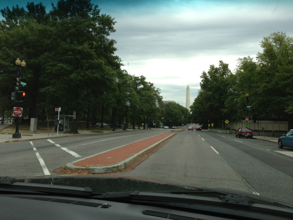
We had just under 12 hours of daylight during our hike in early October. At our peak performance, we were able to complete no more than 25 miles in a day. We did 2 hours a day on the trail before sunrise, and hiked to about one hour before sunset. Carrying 35 pounds on our backs we set 3MPH as our pace, and it was difficult to maintain. We took a break every 5 or 6 miles and did a one-hour lunch. The last few miles of each day were very painful. Unless you are in great shape and want to almost jog the trail, do not plan on more than 25 miles a day, and consider 15-20 miles as comfortable.
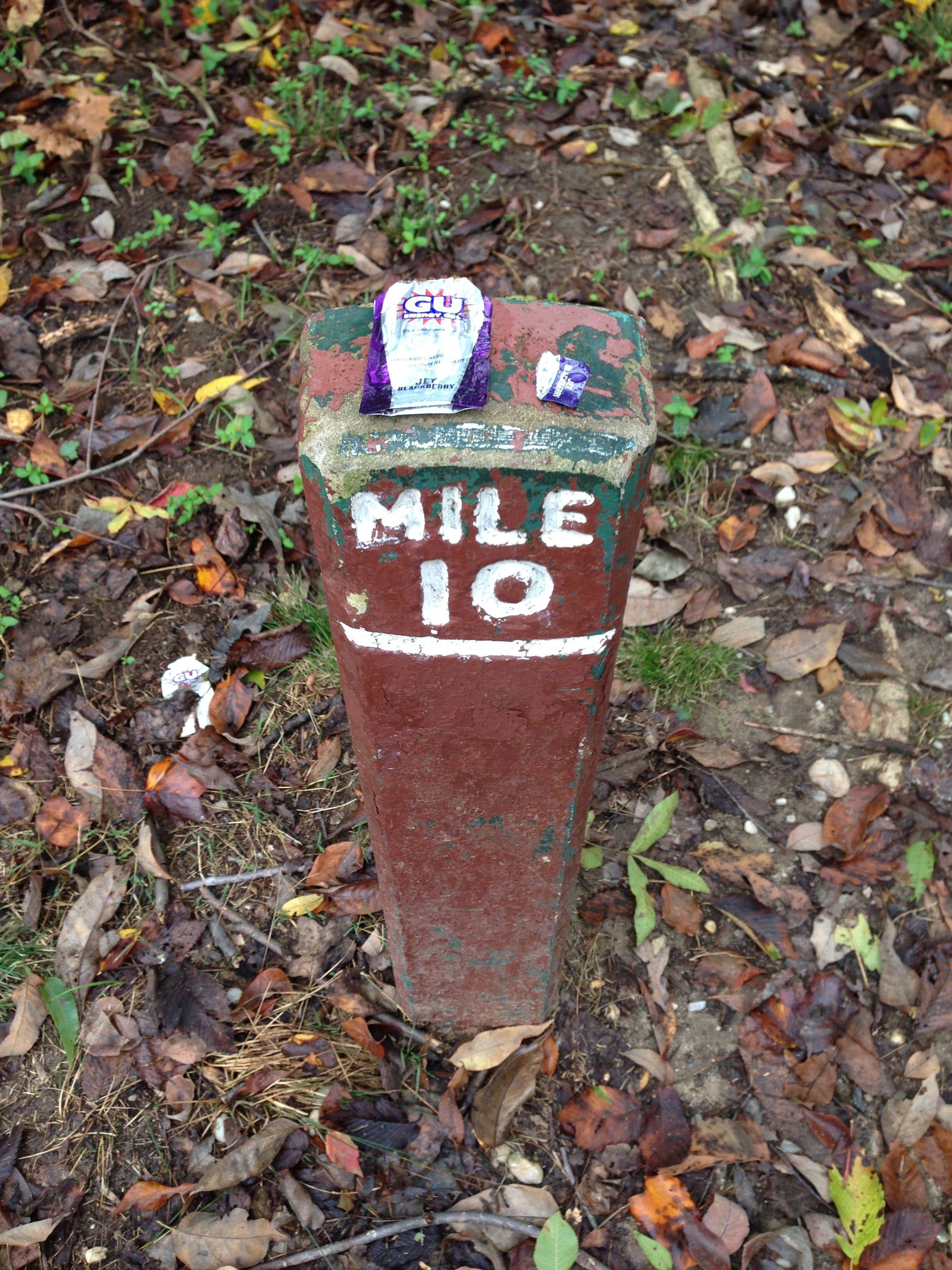
9. Rest/Camp Planning
We had a complex spreadsheet with 3 options for specific stop locations over the entire trip, but we really didn’t use it. It was easy enough to plan each day as we went, usually at camp. If you are heading south, the last few days are a bit critical because the camp sites become more sporadic close to the end.
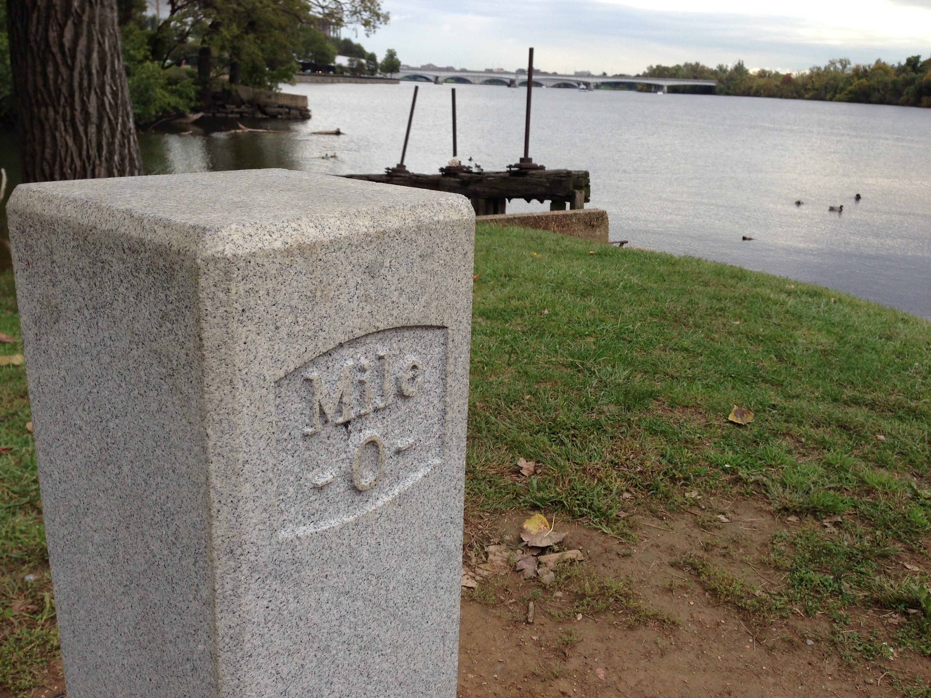
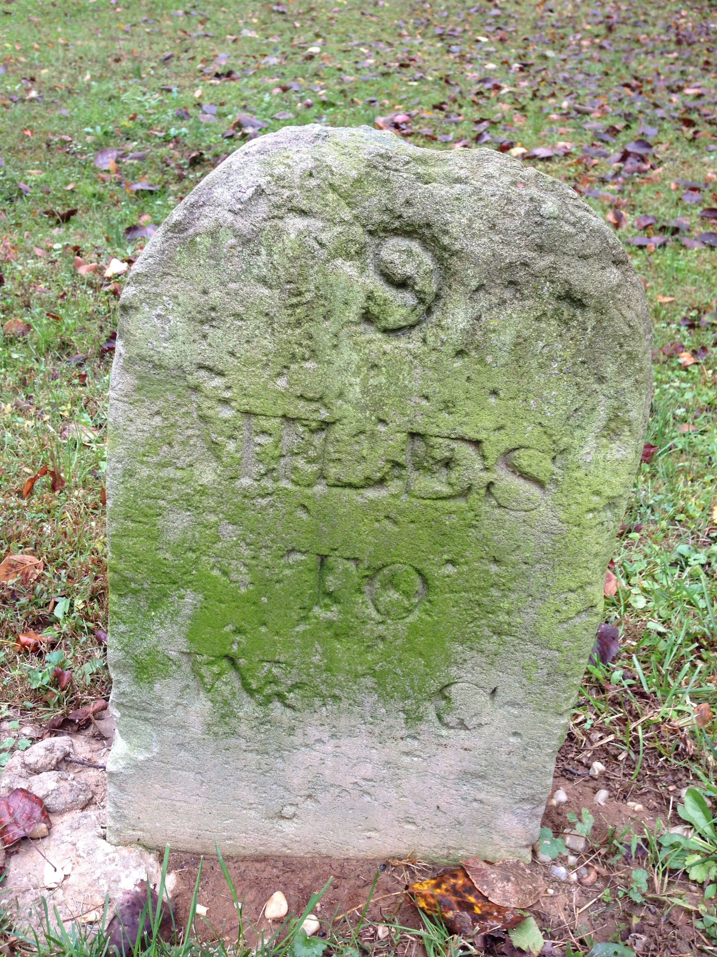
If you have an iPhone, I highly recommend spending the $2.99 on the C&O Companion application. All points of interest, maps, GPS, and real-time trail distances were constantly used and extremely useful. Better than the paper map by far, though you should have both just in case.
Maps are available at all 4 visitor centers. I’m not sure about the other 3, but at Great Falls maps were in a box outside the office for after-hours access. No need for a compass.
10. Toilets
Depending on your timing, you may not need much toilet paper. Every portable toilet we used had plenty of paper installed. Toilets are serviced every 7-10 days it seems. I strongly recommend hand sanitizer to prevent illness. Toilets are at each camp site, picnic area, most boat ramps, ferrys, etc. Picnic areas and pay campsites usually had permanent “outhouses” with septic systems. No running water at any stop with the exception of Great Falls (14) which has a full bathroom facility, and Swain’s Lock (16.5) which has a water pipe and a drinking fountain. There may be others, but these were all we saw.
11. Personal hygiene
There are no showers, unless you count hotels in the towns. “Fresh Bath” wipes help, but they leak and are heavy. Make sure you keep them in heavy duty ziplock bags to keep the juice out of your pack. A 4oz Nalgene Camp Suds bottle is useful for you and your clothes. If you can swing it and the weather is reasonable, I strongly recommend a dip in the river. (Not near rapids, dams, etc. of course.) You might have to wade through 3 feet deep of dead plant matter at the edge of the river, but once you get out to the regular river bed, a bath is easy and refreshing.
We met a couple with a solar shower. That may work for you, but keep in mind that privacy is rare on the C&O.
12. Bugs
Ticks are a serious problem in this region. Lyme disease is very common. You will be constantly brushing against tall grass, bushes, and basically communing with the bug world. I recommend treating your clothes and fabric equipment with Permethrin and keeping a good amount of DEET spray on hand for exposed skin. It will keep the mosquitos away and kill ticks on contact.
13. Electronic Devices
Charging cell phones is challenging on the C&O. Most of the trail is shady, and there are no outlets. The best solution I found is Lithium AA batteries with a Verbatim AA Power Pack that has USB out. It can do almost 2 full iPhone charges on 4 lightweight (but expensive) batteries. I had a Solarmonkey Adventurer, and this worked well also, except when we had a couple of rainy days in a row. I had to be stingy with my phone use (GPS, WordPress posts, etc.) so the solar panel could keep up. The last night I had to use the lithiums.
There is a big dead spot around Green Ridge State Forest. About 2 days of nothing for both AT&T and Sprint. (We had no Verizon). The rest of the trip had fair signal, improving greatly at and South of Harper’s Ferry.